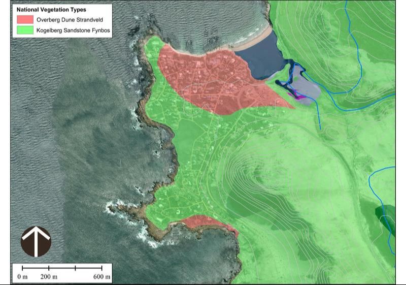
Rooiels showing street names and Plot numbers - scroll down for maps showing Driving Directions, the paths, the vegetation, the coastal set back lines and much more
Rooiels Map with paths marked
Driving Directions
|
From Capetown:
Take the N2 highway east towards Somerset West. As you come past Somerset West do NOT take the first R44 offramp to Broadway Blvd/Stellenbosch. Keep on the N2 passing the Somerset Mall complex on your right. Continue for 8km, past 4 traffic lights and a Shell service station on your right, to the turnoff marked "R44 Kleinmond/Gordon's Bay". Turn right and continue until you reach a T-junction. Then turn left (a sign indicates Rooi Els.) Continue along the R44 /(Clarence Drive) coastal road for 21km until you reach the Rooiels estuary. 500 metres beyond the bridge, as you go up around the bend, turn right onto Anemone to enter the village of Rooiels CBD. 80km from Cape Town (1.5 hr drive); 68km from Cape Town International airport (1.25 hr drive) Download the Map of the Overberg for local points of interest and distances between villages.
Rooiels Zoning MapThe RE Zoning map showing the zoning of all RE erven. Click the + sign on the map to enlarge to see it clearly. The Smallholdings around RE are zoned indeterminate but can be converted to "Small-holding-Conservation area" which defines the properties rights in terms of the new scheme regulations. This involves a request to Council.
Contact: Julia Albers (021 9764378) for more info, or the town-planning dept in Kleinmond.
|
| ||||||||||
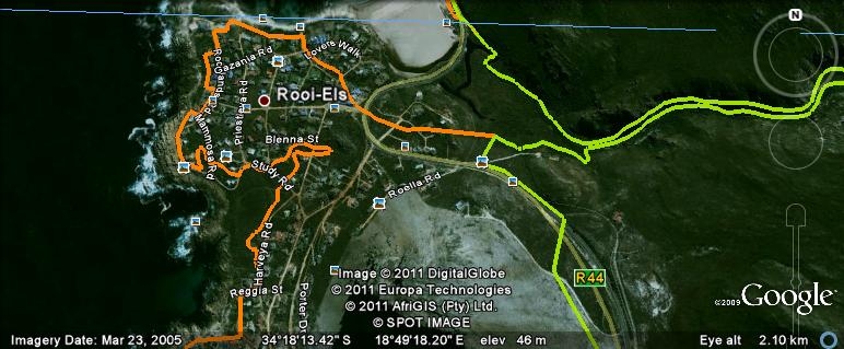
Coastal Protection and Set-back LinesSpecial Permits are required for any development on the seaward side of the development lines. This map of proposed set-back lines was distributed in 2011 and shows these in orange.
| |||


